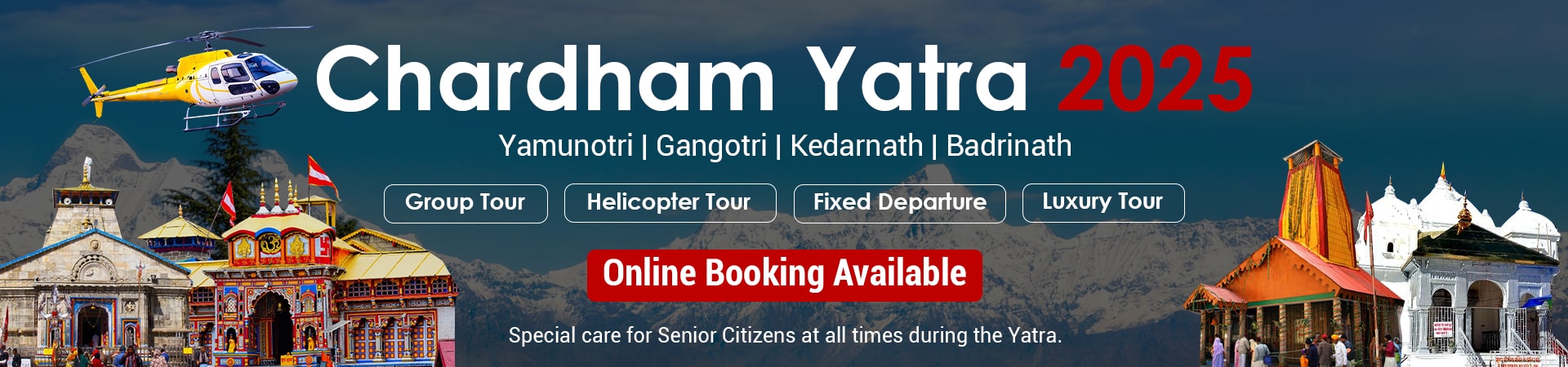
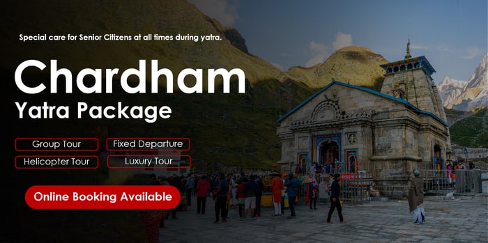
Last Updated on February 10, 2025
Devbhoomi Uttarakhand is known all over the world for its deep spiritual vibe and the holy rivers that make their way from the glacier slopes of the Himalayas. The rivers are worshipped wherever they go and are honored by Hindus for their spiritual and religious importance. Most of the temples and places of significance are situated on the banks of these rivers, which hold immense relevance in the lives of the people of India. From illuminating the lives of thousands of people through hydroelectric power projects to being the center of culture and religion not only here but across the entire Indian subcontinent. Here are some of the rivers of Uttarakhand, which will offer you a beautiful experience:
Alaknanda River
- Originates at the confluence of Satopanth and Bhagirath Kharak glaciers.
- Considered the primary stream of the Ganges.
- Flows for 195 km through Chamoli, Rudraprayag, and Pauri Garhwal.
- Meets Bhagirathi at Devprayag, forming the Ganges.
- Part of the sacred Panch Prayag Yatra.

Rising majestically at the confluence of the Satopanth and Bhagirath Kharak glaciers, Alaknanda is one of the prime rivers of Devbhoomi. Due to its length and water discharge, it is considered the source stream of the Ganges rather than Bhagirathi, as mentioned in Hindu mythology. The Alaknanda River can be clearly spotted in Devprayag due to its sediment-laden water, which meets the Bhagirathi there. Devprayag is a crucial pillar of the Panch Prayag Yatra. Flowing for 195 km and passing through the districts of Chamoli, Rudraprayag, and Pauri Garhwal, this river fuels life into the regions it crosses.
Bhagirathi River
- Originates from the Gaumukh Glacier at the foot of Gangotri.
- Considered the main source stream of the Ganges.
- Flows through Uttarkashi and Tehri districts.
- Passes Kedarnath Dham, where pilgrims take a dip.
- Merges with Alaknanda at Devprayag.

Named after the great King Bhagirath, who is said to have brought the heavenly river Ganga down from heaven to earth, this river is very important in Hindu culture. According to mythology, this river serves as the main source stream for the Ganges. The headwaters of the river can be traced back to the Gaumukh Glacier, which lies at the foot of Gangotri, and the Khatling Glacier. It flows hurriedly past the holy Kedarnath Dham, where people make it a point to take a dip in its water from the ghats. Flowing through the Garhwal division and passing through the districts of Uttarkashi and Tehri, this is also one of the holiest rivers of India. Read more…
Mandakini River
- Originates from Chorabari Glacier near Kedarnath.
- Joins Alaknanda at Rudraprayag.
- Known for destructive monsoon flows.
- Flows through rugged terrain.
- Sacred confluence at Rudraprayag.
Mandakini river Originating from the Chorabari Glacier, which is located near Kedarnath, this river is fed by the famous Vasukiganga River in Sonprayag. Rudraprayag is a sacred and very holy point where the river meets the Alaknanda, and is also one of the most sacred locations for devotees to take a dip at this meeting point. The river turns chaotic and violent during the monsoon season, often destroying the roads and villages that are located in close proximity to it. Ironically, the river goes back into its calm and peaceful state, which has given it the name “she who flows calmly.”
Sharda River
- Forms a boundary between India and Nepal.
- Known as Kali Ganga in Uttarakhand and Mahakali in Nepal.
- Flows for 350 km through scenic landscapes.
- Popular for river rafting.
- Source at Kalapani near the border.

The main feature of this river, at an elevation of 3,600 meters above sea level, is that it works as a demarcation between Nepal’s western borders and India. In Nepal, this river is locally named Mahakali River, whereas in Uttarakhand, it is referred to as Kali Ganga. The surrounding beauty of this river is blessed with lush green natural surroundings and is a great place to unwind, relax, and getaway. Flowing for a distance of 350 km, the river passes through the Ghaghra River. The pond of Kalapani is considered to be the traditional source of the Kali River. This is also an ideal destination for river rafting professionals and beginners alike.
Dhauliganga River
- Originates from Deovan Himani at 5,070 meters.
- Flows through Garhwal and joins Alaknanda at Vishnuprayag.
- Known for the Tapovan meadow near its banks.
- A major source stream of the Ganges.
- Flows through picturesque Himalayan landscapes.
Flowing for a length of 94 km and originating from Deovan Himani, the Dhauliganga River exits Uttarakhand at Vishnuprayag. This river is one of the six source streams that form the holy river Ganga. Beautifying the Garhwal Himalayan region, it rises at an elevation of 5,070 meters above sea level. The famous lush green meditating meadow of Tapovan is located right next to this river and is surely a piece of paradise on earth. Other interesting towns that are situated en route include Raini, Lata, Segri, etc. From camping by the river to a white-water rafting expedition, there are many opportunities for adventure.
Tons River
- Largest tributary of the Yamuna River.
- Originates from Bandarpunch Parvat in Garhwal.
- Flows through Dehradun and touches Himachal Pradesh.
- Believed to have once been Saraswati’s source.
- Flows through Jaunsar Bawar region.
Located in Dehradun and originating from Bandarpunch Parvat, this river is famed for being the largest tributary of the river Yamuna. It makes its way through the entire Garhwal region and even touches a small part of Himachal Pradesh. The exact location of this river lies in the Jaunsar Bawar region and crosses the cant of Chakrata, which is located between the rivers Tons and Yamuna. Various studies on the river suggest that it is possible that the Saraswati River used to have its source in the Himalayan glacial waters, which, due to some tectonic event, eventually became a tributary of the Yamuna.
Pindar River
- Originates from Pindar Glacier in Bageshwar.
- Flows for 105 km, merging with Alaknanda at Karnaprayag.
- Known for scenic mountain beauty.
- Passes through villages like Nauligaon and Bhagoli.
- Sacred river in Hinduism.
Originating from the Pindar Glacier in Bageshwar and finally exiting at Karnaprayag after covering a distance of 105 km, this river is a perfect epitome of classic mountain beauty. The river beautifies every nook and cranny it flows through. It also crosses a number of hilly hamlets such as Nauligaon, Kulsari, Bhagoli, Nauti, etc. Pindar merges with Alaknanda in Karnaprayag, which is a significant place of importance in the hearts of devout Hindus. Staying here, you will be able to view some of the most panoramic and stunning surroundings.
Saryu River
- Originates from Sarmool in Kumaon.
- Flows for 146 km before joining Mahakali at Pancheshwar.
- Known for holy ghats at Bhuni, Sup, and Khati.
- Passes through Malla Katyur valley.
- Meets Lahur River, important for local spirituality.
This Himalayan river originates at Sarmool and, flowing through the Kumaon region of Uttarakhand, covers a distance of 146 km before exiting Mahakali at Pancheshwar. The banks of this river, namely Bhuni, Sup, and Khati, are used by the locals and visitors to take a holy dip here. It flows in a southwestern direction and finally meets at Kanal Gad. After making its way through the charmingly enchanted valley of Malla Katyur River, Saryu converges with Lahur River. An important temple, named Bagnath, is located by the river in Bageshwar, where it meets the Gomti River. After crossing this holy town, this river is joined by Bhrapadigad, Chaugarkha ki Ghat, Jalaurgad, etc.
Yamuna River
- Originates from Champasar Glacier near Yamunotri.
- Flows for 1,376 km through Uttarakhand, Haryana, and Uttar Pradesh.
- Known locally as Jamuna.
- Irrigation canals built on the river.
- Flows through Yamuna Expressway and urban areas.
Originating from the Champasar Glacier, which is located a few kilometers from the main temple of Yamunotri, the river covers an overall length of 1,376 km before exiting the state of Uttarakhand at Dhalipur. Also known locally as Jamuna, the mountain slopes of this river’s source are located at an elevation of 6,387 meters above sea level. Several canals are built on the river for the purpose of irrigation in fields. The course of the river makes its way through Uttarakhand, Haryana, and Uttar Pradesh. Read more…
Nayar River
- Originates from Dudhatoli in Garhwal.
- Flows for 94 km through Pauri Garhwal.
- Merges with Vyasghat in Pauri.
- Known for picturesque and peaceful surroundings.
- Considered an underrated tributary of the Ganges.

This is probably one of the most underrated tributaries of the holy Ganga and flows for a length of 94 km. It emerges from the Dudhatoli ranges in the Garhwal division and passes through the ranges in the district of Pauri Garhwal. Some of the most scenic and stunning places to visit along the river include Khairsain, Bironkhal, Satpuli, Baijron, etc. This river converges with Vyasghat in Pauri. If you are looking for a peaceful getaway by a serene river, wide-open skies, and lush forest cover, then you can go backpacking along this river.
Kosi River
- Originates at Dharpani Dhar in Almora.
- Flows for 168 km, exiting at Ramnagar.
- Known as Kosila by locals.
- Used for irrigation of crops.
- Flows through Sattal and Kathgodam.
The river originates at Dharpani Dhar and flows for a distance of 168 km before exiting at Ramnagar in the Kumaon region of Uttarakhand. Its origin in the district of Almora makes it a very rejuvenating spiritual getaway for you and your family. It is referred to as Kosila by the local population here, and it holds important relevance in the lives of the locals, who have settled next to the river. The river water is utilized for cultivating rice, wheat, and other crops.
Ramganga River
- Originates from Dudhatoli, flowing for 155 km.
- Passes through Corbett National Park.
- Known for its peaceful flow.
- Important tributary of the Ganges.
- Flows through Moradabad and Bareilly.
This 155 km long river originates from Dudhatoli and concludes at Kalagarh after crossing the entire Garhwal region. The river flows peacefully through the southwestern end of the Kumaon Himalayas and is one of the most important tributaries of the Ganga. The source emerges from 800 to 900 meters above sea level and passes through the famous Corbett National Park at Nainital before descending into the plains. Other villages along its banks include Moradabad, Bareilly, and others.
Gaula River
- Originates from Paharpani, flowing for 102 km.
- Passes through Sattal lakes and towns like Kathgodam.
- Known for scenic beauty, but its flow is reducing.
- Part of the Ganges system.
- Endangered by deforestation.
Beautifying the Kumaon division of Uttarakhand, this river flows for a distance of 102 km and originates at Paharpani, concluding at Kichha. The river flows through the stunning lakes of Sattal, passing through Kathgodam, Haldwani, and Shahi. Over the years, due to deforestation, quarrying, and erratic climate changes, the course of this river is drying up. However, it is still worth visiting at least once, as it remains an important part of the Ganges system.
Nandakini River
- Originates below Nanda Ghunti in Nanda Devi Sanctuary.
- Flows for 56 km, merging with Alaknanda at Nandprayag.
- Part of the sacred Panch Prayag Yatra.
- Known for its serene flow.
- Important to devotees and pilgrims.
This river forms one of the main tributaries of the holy Ganga, and its origin is traced back to the glaciers located below Nanda Ghunti within the Nanda Devi Wildlife Sanctuary. It merges with Alaknanda at Nandprayag, which is also a very important part of the Panch Prayag Yatra circuit. The river is admired by all the devotees, and it flows for a distance of 56 km, giving life to every place it crosses. Beautifying the Garhwal division of Uttarakhand, this river is a very serene and peaceful one.


 Call
Call WhatsApp
 Enquiry
very good information about the Sacred Rivers . The rivers are worshipped wherever they go and are honoured by Hindus for their spiritual and religious importance. Very descriptive information with photos are very attractive